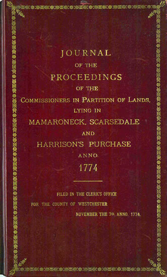
| Journal of the Commissioners
of Partition, 1774 |
 |
|
|
|
Caleb Heathcote (1666-1721) was one of the
largest landowners in pre-Revolutionary Westchester. This 1774
journal and the resulting Heathcote
Map were created
by the Commission established to ensure the fair division of the
lands in present day Mamaroneck, Scarsdale and Harrison, which
were granted to Caleb Heathcote by King William III in 1701
and which remained unsold by his descendants.
Because the original 1774 Heathcote Map was
fading, a true and exact copy was drawn, certified and filed by
the Register of Deeds in 1907; it is the latter version that is
depicted here. It not only documents
the work of the Commissioners, clearly marking the partitioned areas
referred to in the Journal, but also captures both geographical
and man-made features in the vicinity of Mamaroneck, Scarsdale and
Harrison for historical researchers.
This record is also associated with:
Harrison
Scarsdale |